Maps & Cartography Fine Art
The year is 1782, and the heavens have just been redrawn in Berlin. Orion has his club. Cetus has his teeth.
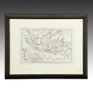
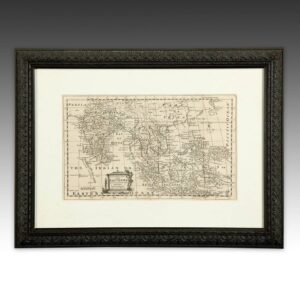
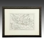
Antique maps, charts and atlas plates from Germany, Britain, France, Austria, the United States and China date from the 1750s to the early twentieth century. Aaron Arrowsmith’s The World in Two Views, maps of Africa and Asia, the East and West Indies and the Philippines, and plates from Stieler’s Hand-Atlas trace the European picture of the world as explorers filled it in. Johann Elert Bode’s Vorstellung der Gestirne maps the constellations as figures: Orion, Cetus, Ophiuchus, the Unicorn. Chinese scrolls of mountains and rivers record a different cartography altogether.
Copperplate line, hand color and foxed paper suit a study, framed in a tight grid.
Terra incognita has shrunk. The paper has not.
In the collection now: French Map and French Map.
Showing all 2 results